For Canadian homeowners, knowing your property lines is key. It stops legal fights and helps with home upgrades, gardens, and selling.
Property lines mark where your land ends and others begin. They might not be seen, but they’re vital for managing your property. Whether you live in Alberta or Ontario, knowing your lines can save you time and money.
Finding your property corners needs research and sometimes a pro’s help. This guide will show you how to find your property’s exact edges. This way, you can protect your investment.
Key Takeaways
- Property lines are legal boundaries that define land ownership
- Multiple methods exist for identifying property lines in Canada
- Professional surveyors can provide precise boundary information
- Digital tools and apps can help initial property line research
- Understanding property lines prevents neighbor disputes
Understanding Property Lines and Their Importance
Property lines are the invisible boundaries that define land ownership in Canada. They show exactly what you own and where your property rights start and end.

Setting property boundaries is more than just drawing lines on a map. It involves complex legal and geographical considerations. These impact homeowners in big ways. Property lines affect everything from home improvements to legal disputes with neighbors.
What Are Property Lines?
Property lines are precise legal descriptions that outline a piece of real estate’s exact dimensions and limits. These boundaries can be defined through:
- Survey markers and monuments
- Legal documentation like property deeds
- Geographical landmarks
- Municipal records
Why Property Lines Matter for Homeowners
Understanding your property boundaries is key for several reasons:
- It prevents neighbor disputes
- It guides home improvement projects
- It supports accurate property valuation
- It ensures compliance with local zoning regulations
Legal Implications of Property Boundaries
Adverse possession laws are important in property ownership. These laws can transfer property rights if certain conditions are met. Homeowners need to know these regulations to protect their property interests.
“Know your boundaries before you build, landscape, or resolve disputes.” – Canadian Real Estate Association
Professional surveyors charge between $375 to $750 for boundary identification. They use advanced techniques for precise measurements. Their expertise helps homeowners deal with complex property ownership challenges.
Official Property Documentation Sources

For Canadian homeowners, navigating property documents can be tricky. It’s important to know about plat maps and land surveys. Local government offices have the key information about property boundaries. This helps homeowners confirm their land ownership.
Canadian provinces have many official ways to get property documents:
- Provincial Land Registry Offices
- Municipal Assessor’s Departments
- County Recorder’s Offices
- Online Government Databases
When looking at land surveys, homeowners should pay attention to certain documents. These are usually:
- Property Deeds
- Cadastral Maps
- Survey Certificates
- Title Documents
Digital tools have made it easier to access documents. In Canada, 10 provinces now have online real estate records. This makes it simpler to understand plat maps.
| Document Type | Availability | Processing Time |
|---|---|---|
| Property Deed | Online/In-Person | 1-7 Days |
| Land Survey | Municipal Office | 3-10 Days |
| Plat Map | Digital/Physical | Immediate |
Homeowners need to know that document authorization lasts at least 5 years. Renewal is needed 30 days before it expires. This keeps access to important property records open.
How to Find Property Lines Using Professional Services
Finding the exact boundaries of your property needs special skills and tools. Professional land surveyors are the best for this job. They give homeowners key details about their property’s size.

When you really need to know your property’s legal limits, get a land surveyor. They use the latest tech to measure and map your property’s edges very accurately.
Understanding Professional Survey Services
Land surveyors have a lot of experience and special tools for checking property lines. They do many things, like:
- Measuring your property with GPS and lasers
- Looking into your property’s history
- Finding and recording property markers
- Making official survey reports
Cost Considerations for Professional Surveys
The cost of a professional survey can change based on a few things. In Canada, it usually costs between CAD 1,000 and CAD 1,500. The price depends on:
- How big and complex your property is
- Where your property is and how easy it is to get to
- The type of survey you need
- If you need extra research
What to Expect During a Property Survey
A property survey is a detailed process. Experts will carefully check your property, using top-notch tools to find and record the exact boundary spots. Here’s what you can expect:
- They’ll look at your property’s documents
- They’ll measure your property on-site
- They’ll find and check your property’s markers
- They’ll give you a detailed survey report
About 90% of mortgage lenders ask for a professional survey. This shows how important it is in buying or selling a property. A professional survey gives you legal proof that can help avoid boundary problems.
Reading and Understanding Property Deeds
Property deeds are key documents that show land boundaries and who owns it. For Canadian homeowners, knowing how to find property lines means understanding these legal papers well.
Property deeds usually have two main ways to describe property lines:
- Metes and Bounds: This method uses physical measurements and natural landmarks.
- Lot and Block System: It uses a grid system in surveyed areas.
Reading land surveys needs careful focus on the details in these documents. Important info includes:
- Property dimensions
- Legal description of boundaries
- Reference to survey markers
- Connections to nearby properties
In Canada, property records have grown more detailed over time. Land registration started in 1795, making records more complex.
| Record Type | Availability | Access Cost |
|---|---|---|
| Parcel Register | Ontario Land Registry | $35.68 per property |
| Abstract Indexes | Local Libraries/Online | Varies |
| Historical Records | Archives of Ontario | Minimal research fees |
Homeowners should look over their property deed carefully. They should focus on boundary descriptions and any easements that might affect how they use their land.
Using Digital Tools and Apps for Property Line Research
Digital technology has changed how we find property lines. Now, we can quickly research property boundaries with the help of modern tools. This makes it easier for homeowners to do without needing a lot of professional help.

Property line research has moved beyond old methods. Now, digital platforms offer easy solutions for Canadian homeowners.
Top Property Line Apps for Canadians
Many digital apps have come out to make finding property lines easier:
- onX Hunt App: Provides detailed property boundary info
- Land Glide: Offers detailed property mapping features
- Property Survey: Focuses on boundary research
These apps use data from county records to show property boundaries accurately. The onX Hunt app, for example, has over 129 million private property records.
Google Maps and Satellite Imagery Tools
Google Maps is a good starting point for understanding property boundaries. It’s not perfect, but satellite images can give a first look at property layouts.
Digital tools are helpful, but should not replace professional land surveys for legal property determinations.
Online Municipal Resources
Canadian municipalities have online tools for property line research. Local government websites often have:
- Interactive property mapping tools
- Zoning information
- Access to historical survey documents
Remember, digital tools have their limits. For the most accurate property corner locations and boundary lines, professional land surveys are best.
Identifying Physical Property Markers
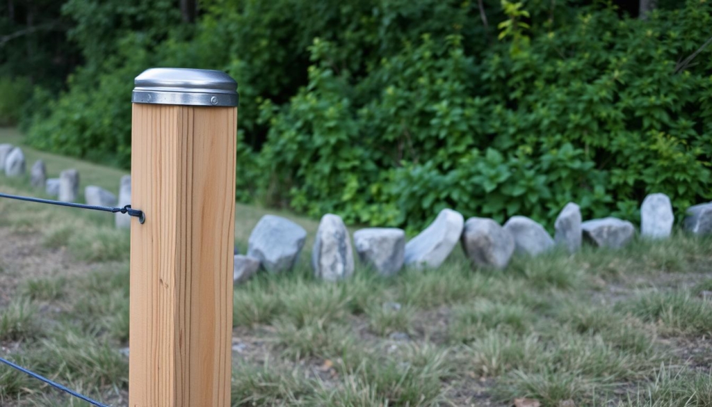
For homeowners, finding property corners is key to knowing their land’s limits. Property markers are important signs that show where your property ends. They can be different shapes and sizes, and you can find them in various ways.
Property markers are usually at each corner of a property. They are also at points where the boundary turns. The marker’s type depends on when the property was first surveyed:
- Plats before 1967: Hollow iron pipe (about 1″ in diameter)
- Plats before the 1980s: Single 1.5″ rebar
- Plats after the 1980s: 1.5″ rebar in a 4″ concrete circle
Finding these markers can be hard because they are often buried 6-10 inches deep. Professional land surveyors suggest using metal detectors to find these hidden markers. Metal detectors, like magnetic locators, are very good at finding these markers.
Knowing your exact property boundaries prevents disputes and ensures you follow local laws.
To find property corners accurately, try these methods:
- Hire a licensed professional land surveyor
- Use specialized metal detection equipment
- Check municipal records and property documents
- Look for existing landmarks
Professional survey services cost between $400 and $2,000. This might seem pricey, but it gives you clear proof of your property’s boundaries.
Understanding Plat Maps and Survey Documents
Property boundaries can be tricky to navigate. But, plat maps are key tools for homeowners and investors. They show land parcels in detail, helping you understand property sizes and legal limits.
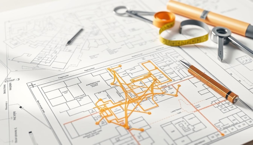
Plat maps are detailed documents. They are professional surveys that reveal important property info. This helps you make smart choices about your real estate.
Decoding Plat Map Essentials
Plat maps have important elements for property owners to know:
- Precise property boundary measurements
- Lot dimensions and unique lot numbers
- Street layouts and names
- Utility easements and rights-of-way
- Directional orientation with north arrow
Accessing Historical Survey Records
Reading land surveys means knowing where to find old documents. Local government offices keep big archives of property records. About 70% of counties now offer these online, making it easier to research.
“A plat map is more than just a document—it’s a legal blueprint of your property’s history and future.”
Interpreting Survey Monuments
Survey monuments mark property boundaries. They can be:
- Concrete markers
- Metal stakes
- Carved rock formations
- Permanent landmark references
Interestingly, about 80% of buyers might not see the value of plat maps until a problem comes up. Knowing these documents early can avoid future issues and help you make better property choices.
Property Line Regulations in Canadian Provinces

In Canada, setting property lines is complex and varies by province. It’s key for homeowners and investors to know these rules to protect their property.
Each province has its own rules about adverse possession, which can change who owns a property. For instance, in Ontario, the Boundaries Act helps solve disputes over property lines.
- Licensed Ontario Land Surveyors (OLS) are the only recognized professionals for official property boundary surveys
- Professional surveys hold legal weight and are admissible in court proceedings
- Precise boundary measurements help prevent neighbor disputes
To confirm a property boundary, you need to follow a few steps:
- Submit a completed application form (Form 1 of Regulation 60)
- Pay an application fee of $410.00 plus $1.00 per adjoining property
- Provide detailed evidence to support your boundary claim
It’s important to know local rules and the legal side of property lines. Homeowners should get help from surveyors to make sure their boundaries are right and follow provincial rules.
Professional surveys are the best way to set clear property lines in Canada.
Understanding property line rules in Canada needs careful attention to each province’s specifics and legal issues. Getting professional help can avoid expensive problems and legal fights.
Common Property Line Disputes and Solutions
Property line disputes can quickly turn a friendly neighborhood into a legal fight. Knowing how to handle these issues is key for homeowners.
These disputes can start in many ways. About 20% of them involve things like fences or buildings being put up without permission.
Boundary Disagreements with Neighbors
Many times, these issues come from not knowing where the property lines are. Up to 50% of disputes can be solved by talking things out. This shows how important it is to communicate well.
- Communicate directly with neighbors
- Document all interactions in writing
- Gather evidence of property boundaries
- Consider professional mediation
Legal Remedies for Property Line Issues
If talking doesn’t work, you might need to go to court. These legal battles can cost a lot, from hundreds to thousands of dollars.
| Dispute Resolution Method | Average Cost | Duration |
|---|---|---|
| Land Survey | $100 – $600 | 1-2 weeks |
| Mediation | $500 – $1,500 | 1-3 months |
| Legal Litigation | $5,000 – $50,000 | 6-24 months |
Mediation and Resolution Processes
Mediation is a cheaper way to solve these problems. Trained mediators help neighbors find solutions that work for everyone.
“Prevention is always better than cure when it comes to property boundaries.” – Canadian Property Law Expert
To solve these disputes, get a land survey, know the local laws, and keep talking to your neighbors.
DIY Methods to Measure Your Property
Finding your property lines can be tough for homeowners. While pros offer the best results, you can try DIY methods to understand your property’s edges.
Before you start, make sure you have these tools:
- Measuring tape (at least 100 feet long)
- Compass
- Wooden stakes
- Hammer
- Metal detector (optional)
First, look at your property documents. Your deed or plat map can give you key starting points for finding your property lines.
Here are some DIY methods:
- Document Review: Study your property’s original survey documents
- Physical Markers: Search for metal rebar or concrete markers at corners
- Measurement Techniques: Use a measuring tape to follow boundary lines from known points
Remember, DIY methods give estimated boundaries. They’re not legally binding. Always get a professional survey for official property line checks.
Knowing your property lines well helps avoid disputes with neighbors and keeps you in line with local rules.
Using metal detectors to find property pins is helpful. But, markers can move due to construction, soil changes, or weather. Always check with a pro for the most accurate corner locations.
Understanding Easements and Right-of-Ways
Easements are legal rights that let others access a part of your property. They don’t change the property lines. For Canadian homeowners, knowing about easements is key when setting property boundaries. These agreements let others, like utility companies or neighbors, use a part of your land for specific needs.
There are different kinds of easements, each with its own impact on owning property:
- Utility Easements: Allow service providers to reach infrastructure like power lines or water pipes
- Access Easements: Let neighbors cross your land
- Conservation Easements: Help protect the environment on your property
In Ontario, easements can be gained through use for about 20 years. These rights can come from express grants, implications, prescriptions, or reservations. It’s important for property owners to document easement agreements to avoid future problems.
Adverse possession laws are also important for understanding property rights. Easements don’t change who owns the land, but they can affect how you use it. A Real Property Report (RPR) is vital in real estate deals to show existing easements and any limits.
Always talk to a professional land surveyor to fully grasp the easements on your property.
Property Line Considerations for Home Improvements
When you’re planning home improvements, it’s important to think about property lines. Knowing where your property ends and your neighbor’s begins is key. It helps avoid legal trouble and keeps things friendly with your neighbors.
Before you start any project, like renovations or landscaping, there are a few things to keep in mind. These include property line rules and local laws.
Setback Requirements
Setback rules say how close buildings can be to property lines. These rules change from place to place. They can really affect your plans for home improvements.
- Check local zoning laws before you start building
- Make sure to measure your plans against these rules
- Talk to your local building department for specific rules
Permits and Regulations
Getting the right permits is key when you’re near property lines. Having agreements and documents about fences can make this easier.
| Improvement Type | Typical Permit Required | Average Processing Time |
|---|---|---|
| Fence Installation | Zoning Permit | 2-4 Weeks |
| Deck Construction | Building Permit | 4-6 Weeks |
| Major Renovation | Comprehensive Permit | 6-8 Weeks |
Neighbor Notifications
Talking to your neighbors early can help avoid problems. Experts say it’s smart to talk about big changes that might affect shared lines.
- Talk to your neighbors about your plans
- Share any survey documents you have
- Fix any boundary issues before you start work
Thinking about property lines helps protect your investment and keeps things good with your neighbors. Understanding local rules and talking to your neighbors can save you a lot of trouble and money.
Final Thoughts on Identifying Property Lines in Canada
Knowing your property lines is key for homeowners in Canada. It helps with home improvements and avoiding boundary disputes. Having clear property boundaries can save you time and legal issues.
There are many ways to find property lines, from free online tools to professional surveys. DIY methods can give you a starting point. But, a professional survey is the best for accurate and legal results. In Canada, the cost of a survey ranges from $376 to $745, based on your property.
Professional surveys can prevent issues with neighbors and ensure you follow local rules. These surveys are good for 5 to 10 years. They are a smart choice for homeowners who want clear boundaries and peace of mind.
If you need help with property lines or real estate, contact New Homes Alberta at (403) 305-9167. Our experts can guide you through property boundary issues. They offer professional advice tailored to your needs.
FAQ
What exactly are property lines?
How can I find my property lines without hiring a surveyor?
What documents can help me determine my property boundaries?
How much does a professional property survey typically cost in Canada?
FAQ
What exactly are property lines?
Property lines are legal boundaries that show where your land ends and your neighbor’s begins. They help you know exactly how much land you own. This is important for building, planting, and even where you can put your fence.
How can I find my property lines without hiring a surveyor?
You can check your property deed or look at municipal land records online. Plat maps from local offices can also help. But, for the most accurate info, getting a professional land survey is best.
What documents can help me determine my property boundaries?
Important documents include property deeds, land surveys, and plat maps. Also, municipal property records and title documents are key. They give you the exact details of your property’s boundaries.
How much does a professional property survey typically cost in Canada?
The price of a land survey depends on your property’s size, terrain, and where it’s located. In Canada, it usually costs between 0 and
FAQ
What exactly are property lines?
Property lines are legal boundaries that show where your land ends and your neighbor’s begins. They help you know exactly how much land you own. This is important for building, planting, and even where you can put your fence.
How can I find my property lines without hiring a surveyor?
You can check your property deed or look at municipal land records online. Plat maps from local offices can also help. But, for the most accurate info, getting a professional land survey is best.
What documents can help me determine my property boundaries?
Important documents include property deeds, land surveys, and plat maps. Also, municipal property records and title documents are key. They give you the exact details of your property’s boundaries.
How much does a professional property survey typically cost in Canada?
The price of a land survey depends on your property’s size, terrain, and where it’s located. In Canada, it usually costs between $300 and $1,500. Larger or more complex properties might cost more.
What are property markers, and how do I find them?
Property markers show where your property lines are. They can be survey pins, concrete monuments, or iron stakes. You can find them with a metal detector or by checking survey documents. A professional land surveyor can also help.
Can digital apps accurately determine property lines?
Digital apps and online tools can give you a rough idea of your property lines. But, they’re not reliable for legal or construction needs. Always get a professional survey for accurate information.
What is an easement, and how does it affect my property?
An easement lets someone else use part of your property for a specific reason, like for utilities. It can affect how you use your property. Always consider easements when planning changes or selling your property.
How do I resolve a property line dispute with a neighbor?
First, talk calmly with your neighbor about the issue. Then, gather all important documents. If you can’t agree, try mediation. If that fails, a real estate lawyer or local authorities can help legally.
What are setback requirements?
Setback requirements are rules from your local government about how close buildings can be to property lines. These rules change by area and affect building, fencing, and new projects.
Can I move an existing property marker?
No, moving a property marker is illegal and can lead to serious legal trouble. If you think a marker is wrong, talk to a professional land surveyor to check and fix it.
